


Katman yönetimi
Layer management
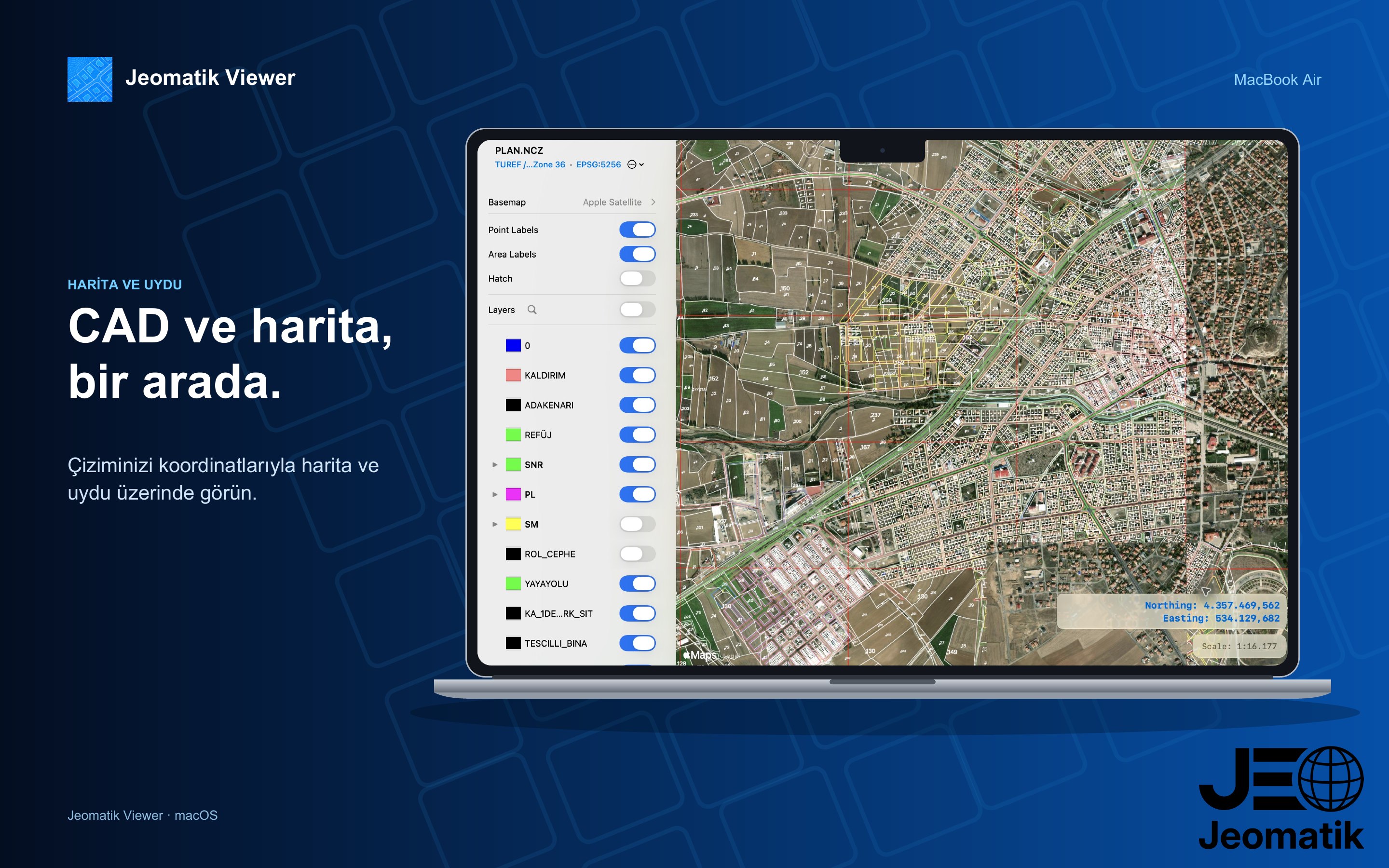
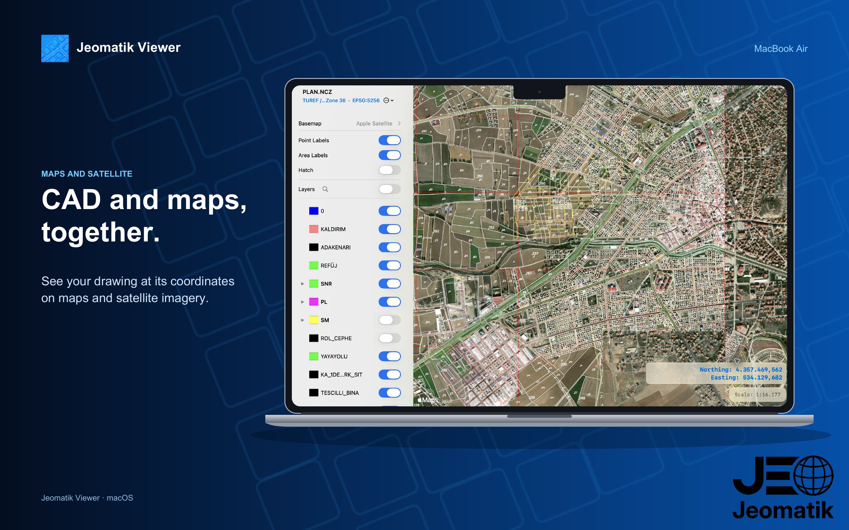
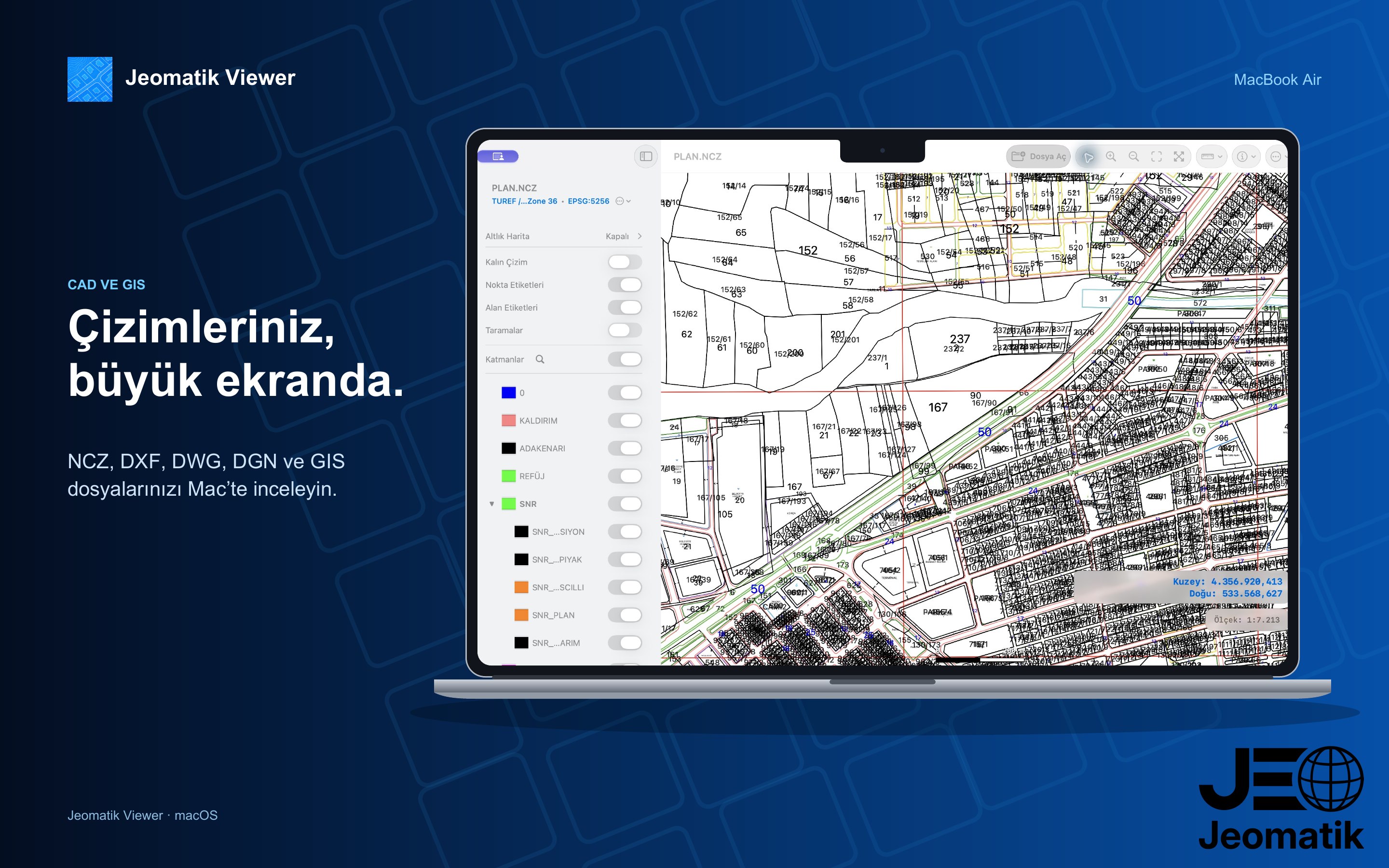
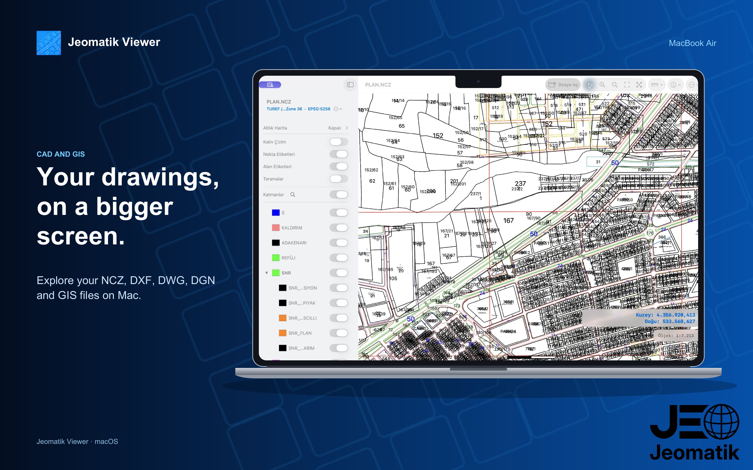
Katman arama, grup görünürlüğü ve renk düzenleme.
Layer search, group visibility and color editing.
NCZ, DXF, DWG, DGN V7, KML, KMZ ve SHP dosyalarını iPhone, iPad ve Mac üzerinde açın; CAD çizimlerini ve coğrafi verileri haritada inceleyin.
Open NCZ, DXF, DWG, DGN V7, KML, KMZ and SHP files on iPhone, iPad and Mac; inspect CAD drawings and geographic data on a map.
Katman arama, grup görünürlüğü ve renk düzenleme.
Layer search, group visibility and color editing.
Apple, OpenStreetMap ve çevrimdışı MBTiles; Google altlıkları için kendi API anahtarınız gerekir.
Apple, OpenStreetMap and offline MBTiles; Google basemaps require your own API key.
Birden fazla CAD/GIS dosyasını birlikte görüntüleyin.
View multiple CAD/GIS files together.
Nokta, çizgi ve alan oluşturun; noktalara fotoğraf ekleyin. Kaynak dosya otomatik değiştirilmez.
Create points, lines and areas; attach photos to points. The source file is not changed automatically.
Ada/parsel numarasıyla veya haritadan konum seçerek sorgulayın.
Query by block/parcel number or a location on the map.
Datum/projeksiyon seçin veya desteklenen bir EPSG kodunu arayın. Her EPSG kodu desteklenmez.
Choose a datum/projection or search a supported EPSG code. Not every EPSG code is supported.
Dosya açma, görüntüleme, katman kontrolü ve geometri oluşturma.
Opening files, viewing, layer control and geometry creation.
Nesne özellikleri, mesafe/alan ölçümü ve dışa aktarma. Abonelik gerekmez.
Object properties, distance/area measurement and export. No subscription.
Dışa aktarma: NCZ, DXF, DWG, DGN V7, PNG, PDF, KMZ ve GeoJSON.
Export: NCZ, DXF, DWG, DGN V7, PNG, PDF, KMZ and GeoJSON.
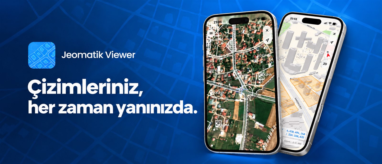
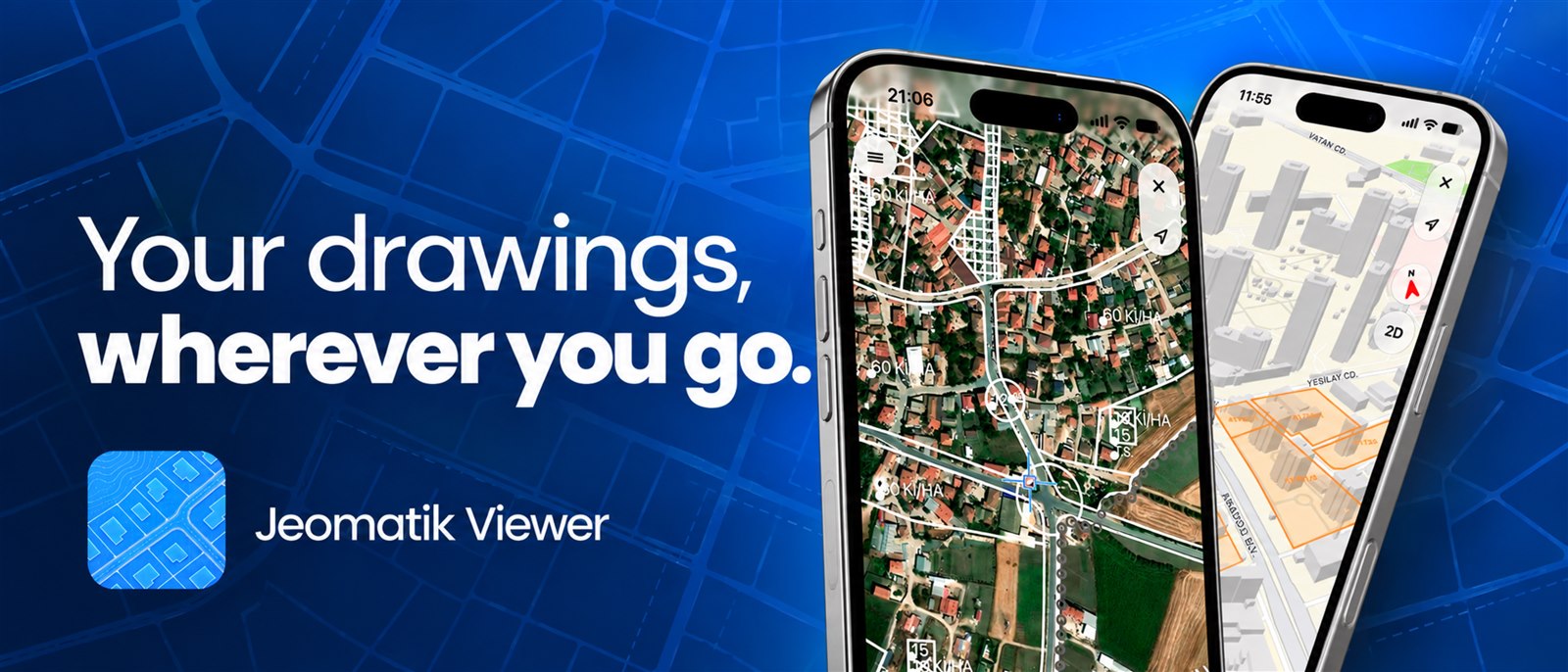
Jeomatik Viewer’ın iPhone ve Mac sürümlerinden gerçek ekran görüntüleri.
Real screenshots from the iPhone and Mac versions of Jeomatik Viewer.