⌖
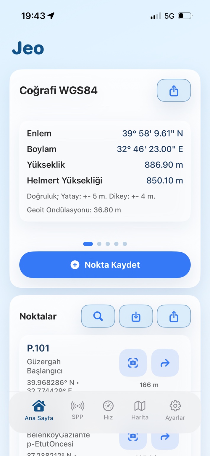
Canlı koordinatlar
Enlem, boylam, yükseklik, yatay ve dikey doğruluk değerlerini anlık olarak görüntüleyin.
Jeo; canlı GPS koordinatları, nokta yönetimi, KML/KMZ iş akışları, AR yönlendirme, geoit hesabı ve yükseklik servislerini modern bir mobil arayüzde birleştirir.
Ölçme, haritalama, mühendislik, saha kontrolü ve navigasyon süreçlerinde okunabilir, hızlı ve güvenilir coğrafi veri deneyimi.
Enlem, boylam, yükseklik, yatay ve dikey doğruluk değerlerini anlık olarak görüntüleyin.
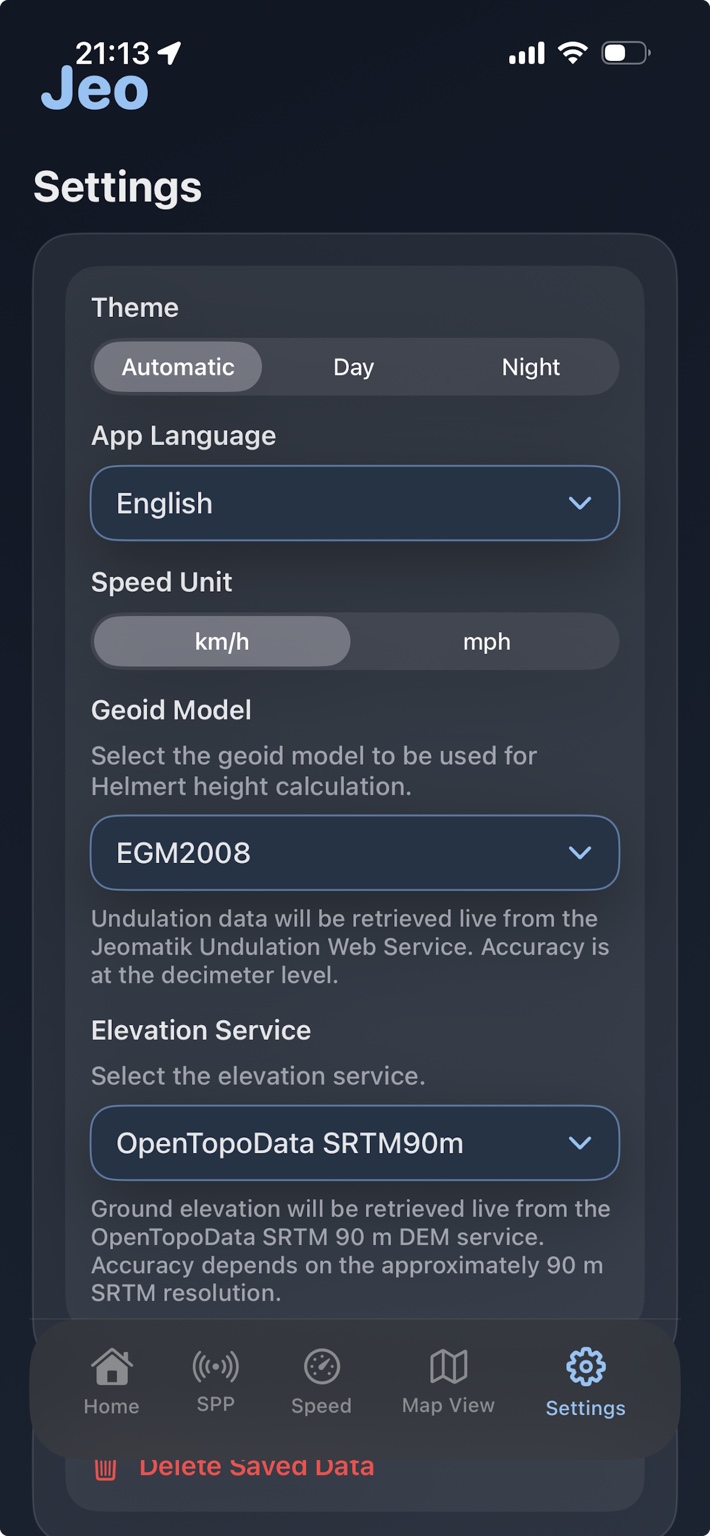
WGS84, ITRF96, ED50, UTM ve TM projeksiyonlarıyla sahada hızlı dönüşüm yapın.
Geoit ondülasyonu, Helmert yüksekliği ve DEM tabanlı yükseklik servisi desteği kullanın.
Noktaları kaydedin, düzenleyin, arayın; haritada uzun basarak yeni nokta oluşturun.
Dosyaları içe ve dışa aktarın; nokta, çizgi ve poligonları harita üzerinde yönetin.
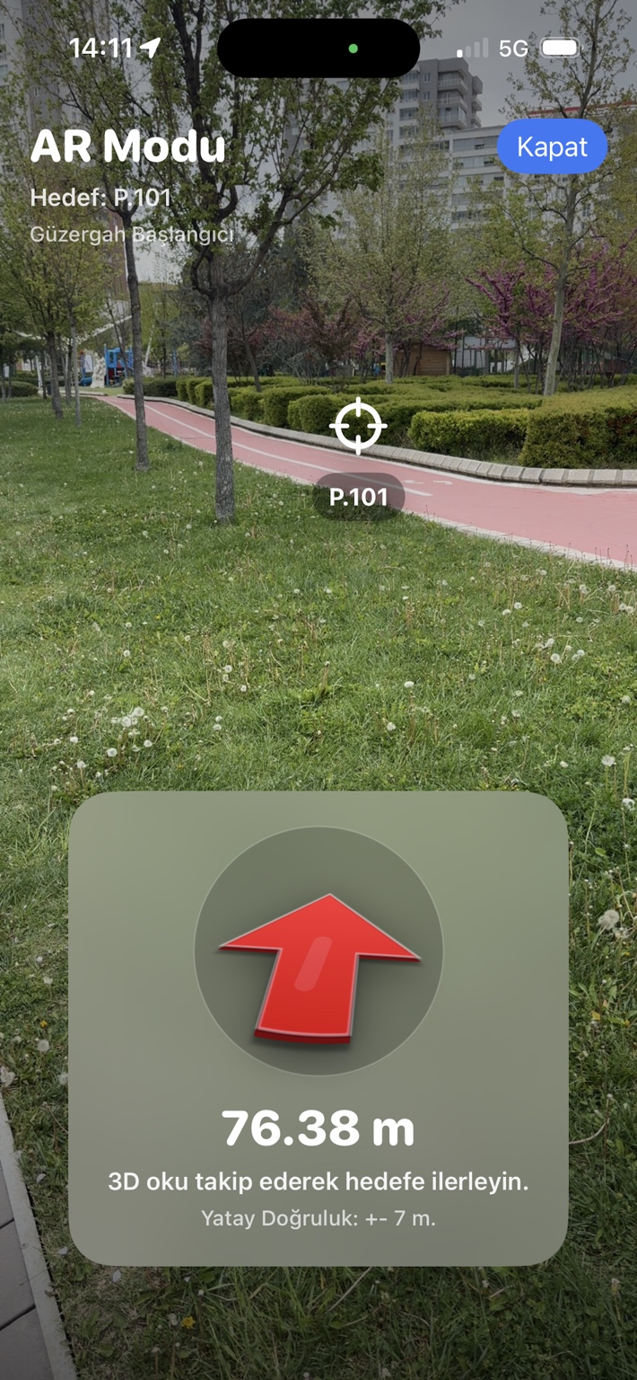
Hedef noktalara ve içe aktarılan geometrilere artırılmış gerçeklik ile yönlenin.
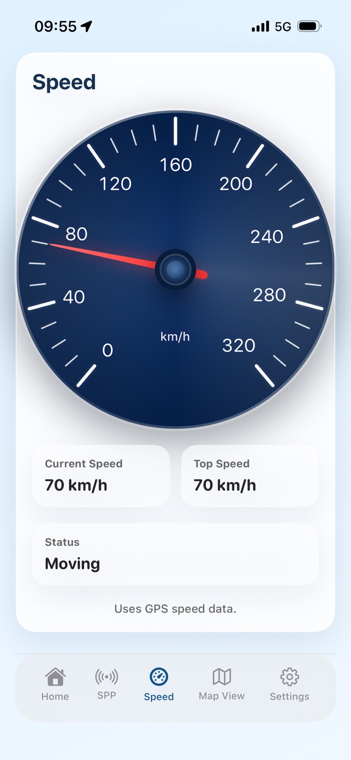
Jeo arayüzü; açık/koyu tema, akıcı hız kadranı, harita görünümü, AR hedef yönlendirme ve saha ayarlarını yalın bir deneyimde toplar.
Nokta kaydetme, aplikasyon, KML/KMZ aktarımı, AR yönlendirme, geoit ve yükseklik servisleriyle mobil coğrafi veri iş akışınızı güçlendirin.